 Linux, Linux OS, Free Linux Operating System, Linux India Linux, Linux OS,Free Linux Operating System,Linux India supports Linux users in India, Free Software on Linux OS, Linux India helps to growth Linux OS in India
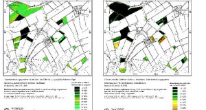
R. Joe Brandon Trevor Kludt Markus Neteler Issue #63, July 1999 A description of an archaeology project making use of the freely available geographic information system GRASS. Since the days of Heinrich Schliemann’s search for Troy, archaeologists have been confronted with the dilemma of how to record the spatial characteristics of archaeological data, and once recorded, how to analyze those ...
Read More »Linux utilities in conjunction with GRASS